

So how far can two overland monkeys with no maps get exploring the infamously labyrinthine roads of Mexico’s Copper Canyon region?
It turns out that they can make it pretty far.
The Copper Canyon region actually consists of several different canyons covering an area approximately six or seven times larger than the Grand Canyon in the United States. Some of these canyons are deeper than the Grand Canyon as well. As you can imagine, the landscapes are rather dramatic.
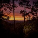
Urique Canyon is the deepest of all the canyons in the region. With 1870m (6135′) variation in altitude from canyon floor to rim, we knew we would be in for some spectacular views.
We navigated the same winding narrow road as we had the night before. In the early morning light, the views were more spectacular and the drive was far less daunting. Although the daylight did serve to highlight the peril we had been in as we cautiously made our way down the hill in the dark the night before.


After we had wound our way out of the canyon, the next goal was to find some petrol. We had left Urique before the service station had opened (if indeed it was going to open at all). We were hopeful that we would find fuel in one of the nearby towns. Which we did, served to us from a 20 litre container by the enterprising lady who also ran a hamburguesa stand in the town of Cerocahui.
Cerocahui was a peaceful mountain hamlet nestled into a bowl-like valley. We couldn’t resist a quick look around town, even though we planned on driving though to Creel that day.
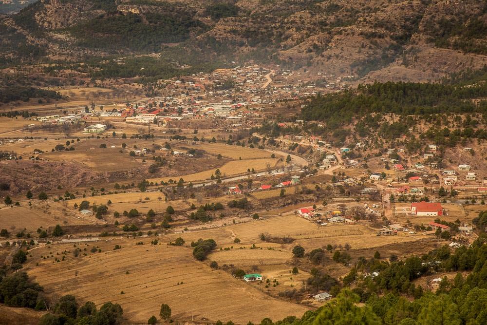
It was clear that the town’s main industry was forestry, smells of freshly cut pine and smoke from cozy log fires reminded us of winters at home. As did the temperature on the canyon rim. There was a distinctly wintry chill in the air. We wondered how cold it would be camping up here compared with the muggy heat of the canyon floor the night before.
Cerocahui seemed like a pretty friendly town, people tended to smile and wave when you drove past and it seemed rather relaxed. It was perhaps a place that deserved more attention than just a drive through and a stop for a snack. However, not wanting to find ourselves driving after dark again, we hit the road pretty promptly.
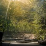
Another night-time journey was not actually likely. Since we had arrived in Urique, the roads we were following were looking better and better, the towns themselves had paved roads. Travelling was much faster than on the serpentine unlabelled roads from the day before. It wouldn’t be long before we hit the paved highway to Creel, so we needn’t have been concerned.
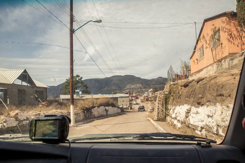
Just down the road from Cerocahui was the ‘town’ of Bahuichivo. It is a small village that has sprung up around the nearby train station. There isn’t much there, yet we still managed to take a wrong turn and almost get lost. Which was pretty ironic, given that Javier (our GPS) had now realised where we were and was offering useable directions to Creel, also, we were in a very small town.
As we drove along, Ben became increasingly unnerved by the vehicle full of heavily armed young men following us menacingly through the town. Bahuichivo just wasn’t giving off the same friendly vibe as Cerocahui.
We pulled over to let them pass and started the search for somewhere to have lunch. This lunch mission accidentally sent us down a one way road, right past the destination of the heavily armed vehicle load of young men. Who it transpired were meeting about 30-40 of their equally heavily armed cronies in someone’s front yard. Neither of us had seen so many guns in one place that wasn’t on TV or in a US department store. At this point we had decided we were definitely not sold on the town of Bahuichivo… we were starting to miss the peace and quiet of the unlabelled back roads.
We carried on to Creel, hoping it would be a little more laid back and a little less overloaded with gangs of armed youths.
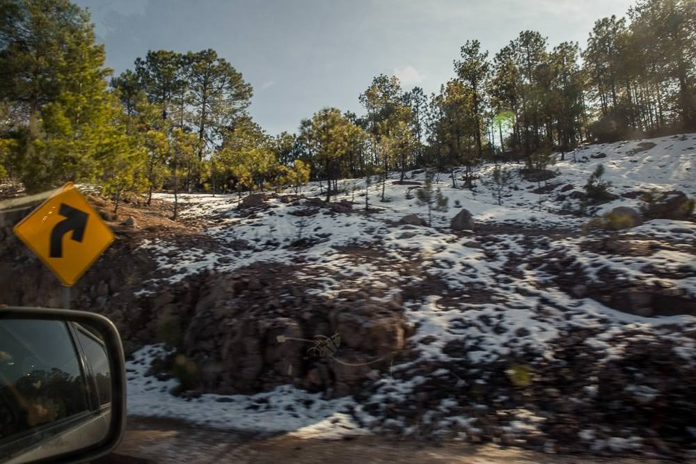
As we drove higher and higher we started to see more ice and snow on the side of the road. After months exploring the sunny Baja Peninsula, we knew it was going to be a chilly night…
Camping in Creel sounded like it was going to be relatively expensive. We used this as an excuse to upgrade to a cozy hotel room, with a heater—our favourite! Luxury!

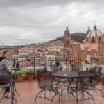
The town of Creel was another peaceful alpine town, similar to, but larger than, Cerocahui. While the smell of freshly cut pine and the smoke from log fires still hung thick in the air, it was immediately clear that it was a big tourist hub for the area. The main street seemed to consist mostly of hotels, restaurants and gift shops. Yet Creel somehow managed to retain its small town charm.
We laughed when we saw the kids in the fields behind the hotels showing off their bike tricks to one another. Each kid was trying to out do their friends. Then two brothers showed up on their white horse and started doing tricks and showing off their horse-riding skills.
Horses. Way more bad-arse than push bikes.

We used Creel as a base for exploring a few of the local ‘tourist attractions’. There were a number of rock formations to look at nearby. After paying the modest entry fee and seeing the valley of the frogs:
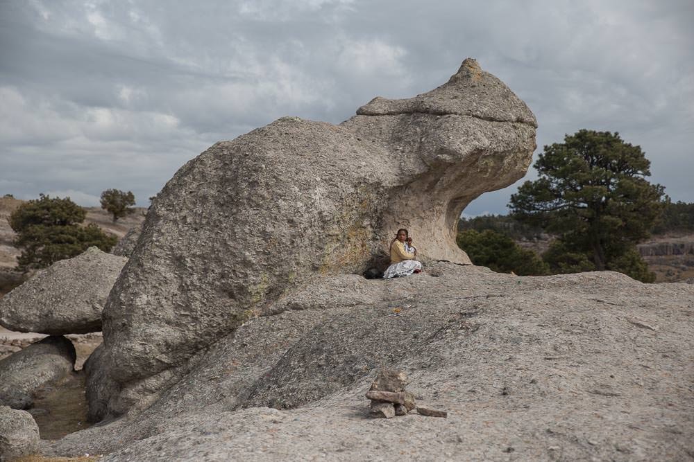

Then the valley of the mushrooms:

We weren’t really that interested in visiting the valley of the monks, situated another 10km down the road.
Even less so when a chap with a lazy eye and terrifyingly long fingernails wanted us to pay extra money to him to pass by and go see them. (At least we think that is what he wanted—he alternated between mumbling semi-coherently in English and Spanish and accentuated every ‘p’ by expelling a spray of saliva.)
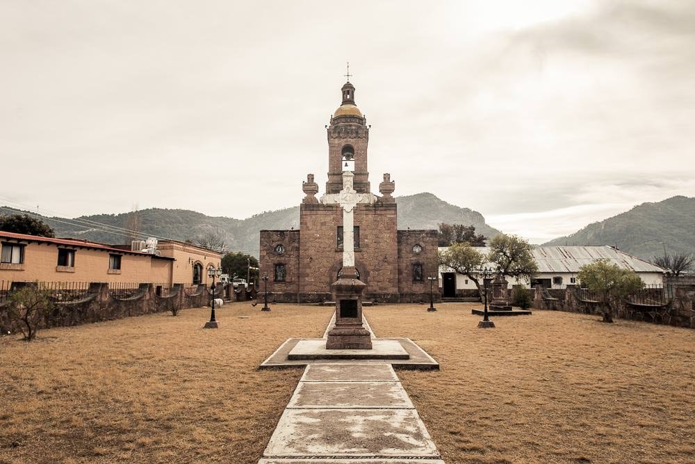
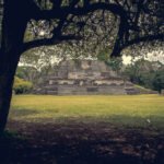
Not wanting to continue the conversation with crazy spitting man, we contented ourselves by checking out the nearby San Ignacio Mission.
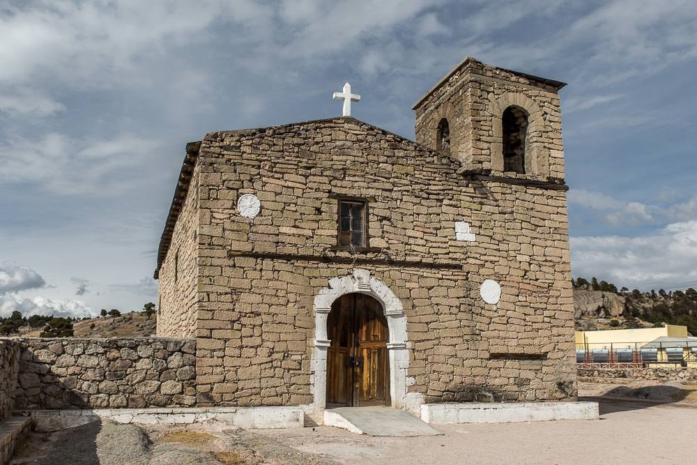
It was yet another church, like many others we had seen already.
Lake Arareko proved to be a bit more interesting. However, it was a bit chilly for a swim and we still haven’t got over the trauma of our canoe rental in Jasper, so we merely eyeballed the lake from the shore.

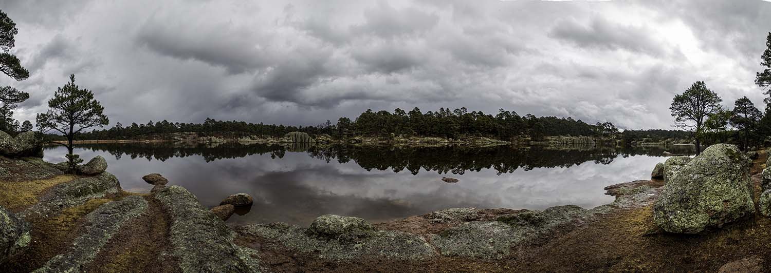
While the scenery was undeniably impressive around the area, we weren’t really finding anything that really captured our imagination.
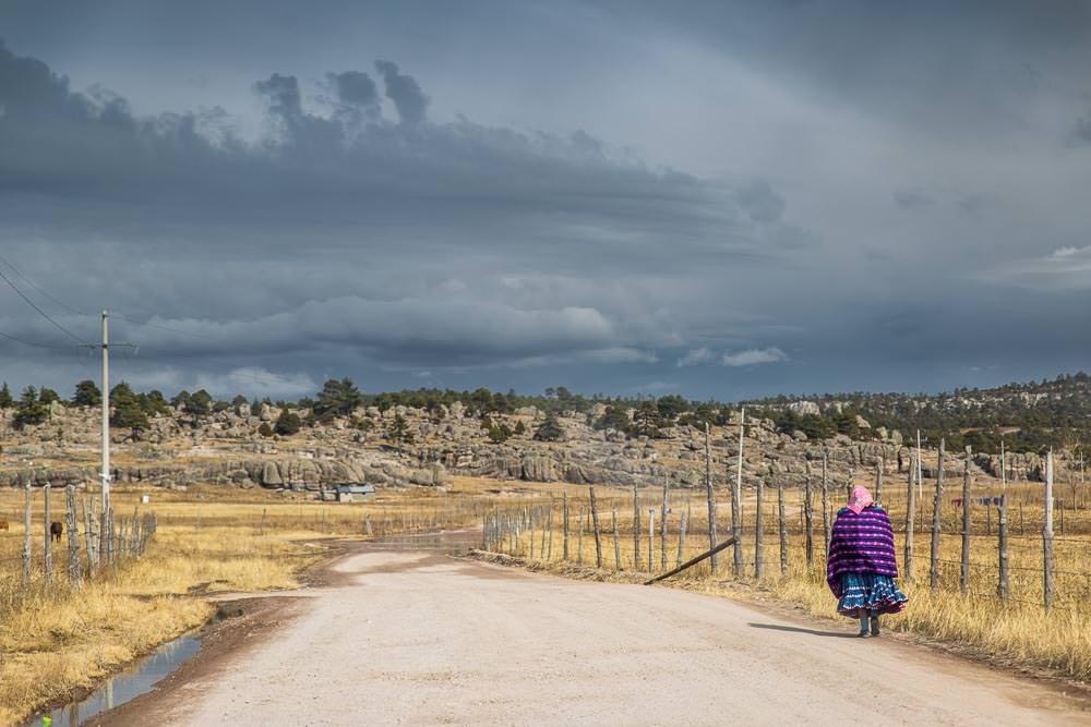
What proved to be more memorable than the scenery and the ‘tourist attractions’ were the local Rarámuri (Tarahumara) people. No matter how far away from a town or how far down a winding back road we found ourselves, there was always a chance of rounding a corner and finding a family walking (what we can only assume were quite long distances) along the side of the road. Sometimes they would be seated around an impromptu lunch-time camp fire. Given the distances and the temperature, we knew these people were made of sterner stuff than us—in our car, with our cushy hotel room, both with a heater.
The local women typically dressed in brightly coloured outfits. Many were very shy of passers-by, turning into the woods and hiding their faces as we drove past, although their husbands and children would often smile and wave.
Tourism appeared to be becoming a big industry in the area, which meant everywhere we stopped for something touristy, there would be throngs of local people selling their handcrafts.
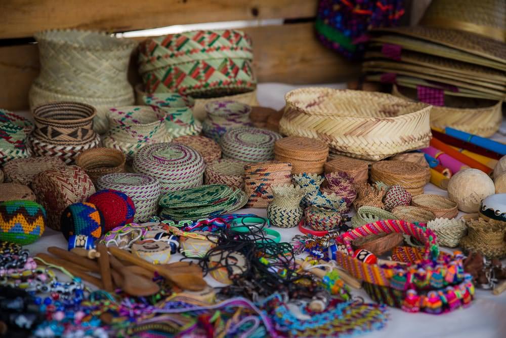

When we visited a cafe in Creel we were asked approximately 10 times by the same three kids whether we wanted to buy a basket as they did the rounds of nearby restaurants. It is scenes like this that make you wonder what kind of impacts increasing tourism is going to have on the area and how it will affect the people living there. Will it unbalance the local economy or enhance it? Will it provide opportunities, or will it take them away? Will it strengthen or diminish the local people’s cultural identity?
It leaves you wondering how much of a completely selfish enterprise this whole travelling malarkey is. It is questions like these that always make you feel like a bit of an intruder in someone’s backyard.
Realistically, that is what our entire journey is about—intruding in people’s backyards all the way from Alaska to Argentina, we’re somewhat committed now. Perhaps that should be our new motto?
However, we were here to see the canyon, so it was time to stop looking at rocks, lakes and handcraft stalls and to go see what the fuss was about.
As advertised, there was a very dramatic canyon to see.

We tried and failed to take a suitable selfie on the canyon rim. Turns out we’re no good at that:
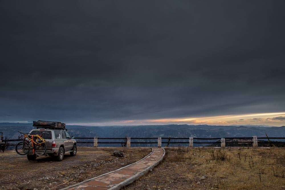
We decided that a night’s camping on the canyon rim was in order.
We asked a local farmer where we could camp. For a 20 pesos (less than $2 NZD), he was happy to allow us to camp right there at 2,500 or so metres with a million dollar view of the canyon below. That sounded like good value to us. (Technically 30 pesos because we also bought a well-made woven basket from his shy young son who was sent up to visit us once we set up camp).
We settled in to our spectacular camping spot, hoping for a dramatic sunrise over the canyon the next morning.
Instead, we awoke to this:


After breakfast and a hot cup of coffee to get us moving in the chilly morning air, we realised that the canyon wasn’t enveloped in mist, we were just camping in a cloud.

We made for lower ground to get below the cloud and enjoy the canyon scenery from the walkway between the Divisadero train station and the Parque Aventura Barrancas del Cobre.
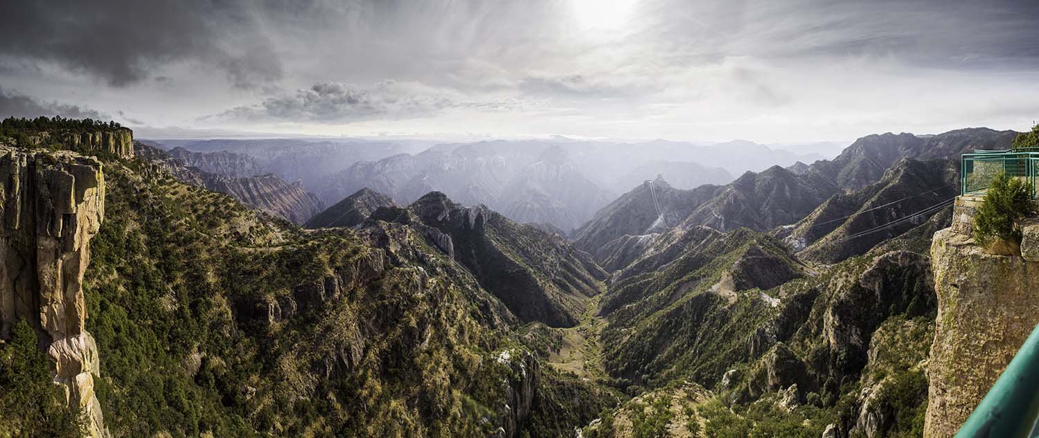
Spectacular.


Now what is the Parque Aventura Barrancas del Cobre? As it happens, it is a tourist park with… wait for it—the world’s longest zipline! What better way to get a closer view of the spectacular Copper Canyon?
Well, what better way for Emma to see it anyway, Ben took one look at the zipline and promptly decided that he was not keen to spend a lot of money to be dangled 440m (1450′) above the canyon floor, hanging only from a thin cable.
Emma however was sold by the hype: 2.5km (8350′) of zipline, 100km/h(65m/h) 440m (1450′) above the bone-crunching canyon floor. Yes please.
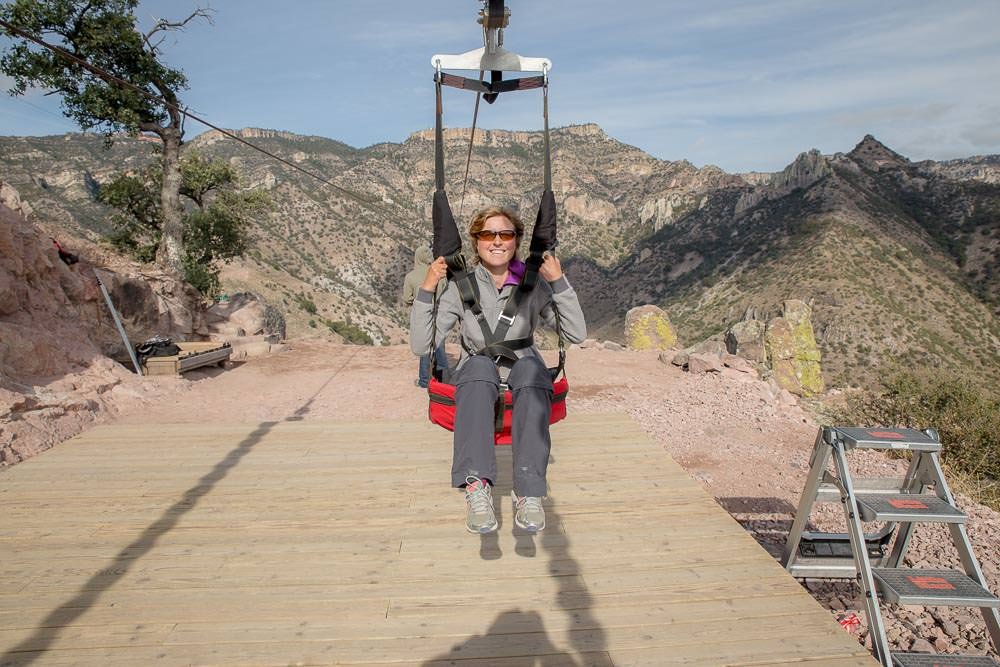
Despite all the hype, it transpired that it was a pretty sedate journey. They sat you in a comfy seat and you were so far from the ground that it didn’t feel like you were moving fast—except for the biting wind and the roar of the zipline.
But it did provide a whole new perspective on the sheer scale and dramatic topography of the canyon.
It also included a free ride back to civilization on the even more sedate and not quite as spectacular cable car.
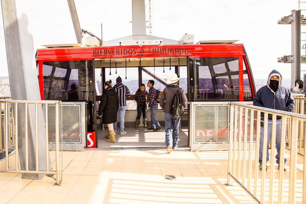

Several minutes later the cable car slowly approached the starting terminus. Definitely not as exciting as the zipline.

What was actually far more terrifying than any zipline was the glass-floored restaurant extending out over the canyon rim.
The glass looked like it was held in place by chunks of scrap metal.
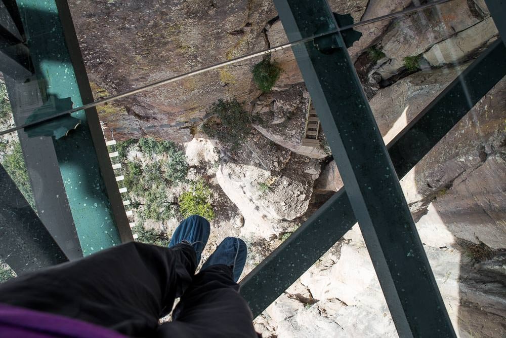
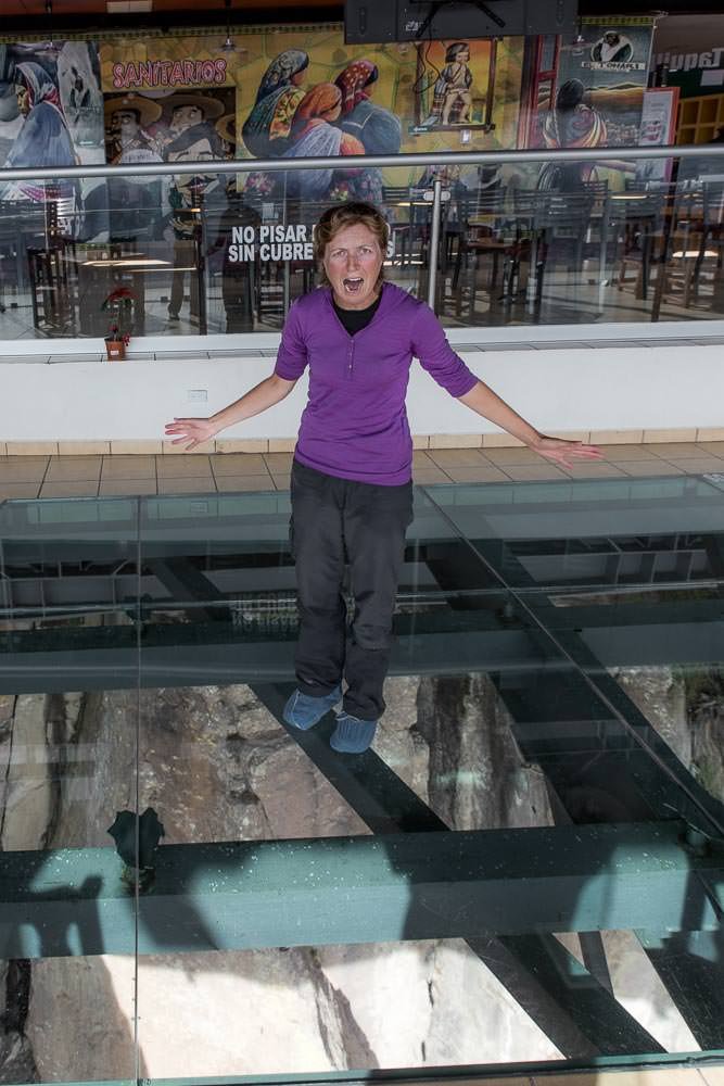
Genuinely terrifying.
We stopped by at a few more viewpoints to gawk at the abyss from different angles. Sorry for so many canyon photos, but we didn’t spend nearly long enough and Arizona’s Grand Canyon, so we had to make up for it somehow.


And saw yet another crumbling Jesuit mission.
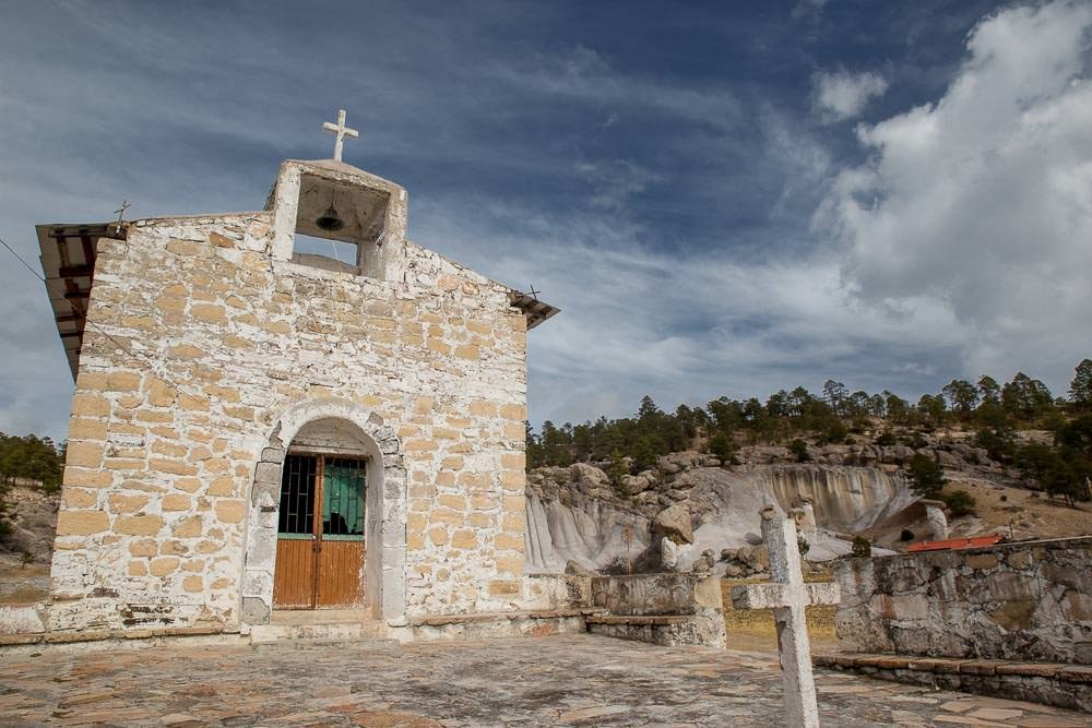
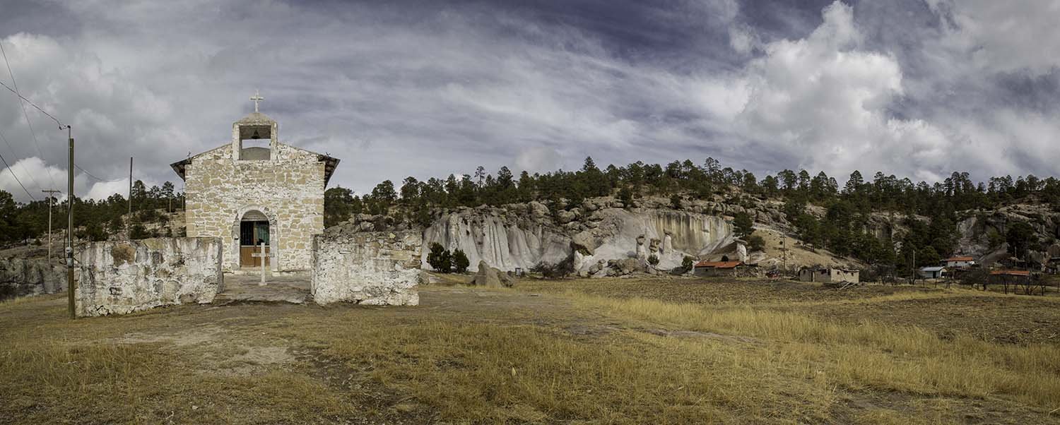
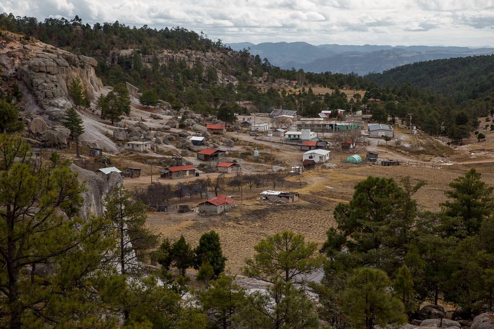
Nestled in this peaceful mountain village:
We never did see the famous Copper Canyon train El Chepe.

We felt we had been pretty successful at exploring the area without effective maps.
Although, in all fairness, much of the area around Creel was paved and for the most part clearly signposted, so aside from briefly getting lost in the town of Bahuichivo we hadn’t really felt the need for a map, or had to ask Javier for directions.
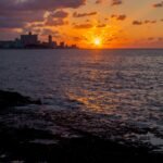
It was time to return to the coast. Instead of heading back towards Urique from Creel, we decided to drive to the town of Batopilas to see if we could find a way back to El Fuerte from there. We still had no maps of that area, but it sounded like there was a rough road from Batopilas to Urique at the very least. A quick look on Google Maps suggested there were other, more direct options as well. We figured we’d just ask locally for directions and go from there.


3 Comments
WHAT??? I thought Ben did the zipline too!!! omg… well.. lol.. maybe next time we get there you can come and visit and we can bully him into it withus!
[…] Because apparently, we hadn’t already seen enough churches. […]
[…] remind us of the rock formations near Creel, except no one is claiming that they are frogs, mushrooms, monks or […]